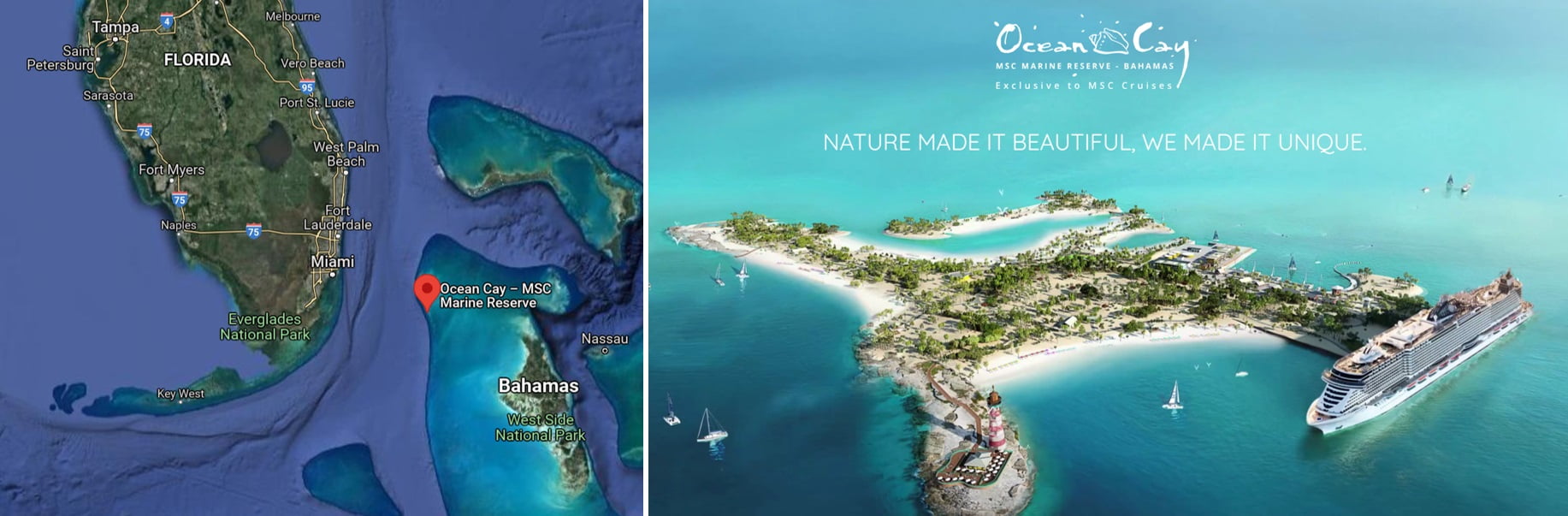
When a Bahamian company inquired us back in the beginning of 2018, we didn’t know that this project will end up in an amazing artificial island owned by cruise ship owner MSC, Switzerland.
Ocean Cay is a man‐made island located approximately 18.6 miles (30 km) south of south Bimini Island, The Bahamas. Ocean Cay was constructed using an existing rock outcrop along the western edge of Ocean Cay and eastward land reclamation from the late 1960s through early 1970s. The Great Bahama Bank west of Ocean Cay forms a narrow shelf about 1.5 nautical miles (2.8 km) to a depth of approximately 50 ft. (15.2 m) prior to dropping abruptly into the Florida Straits. (source: IslandbyDesign)
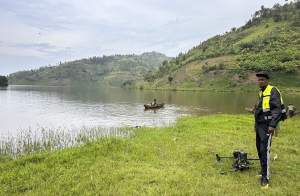
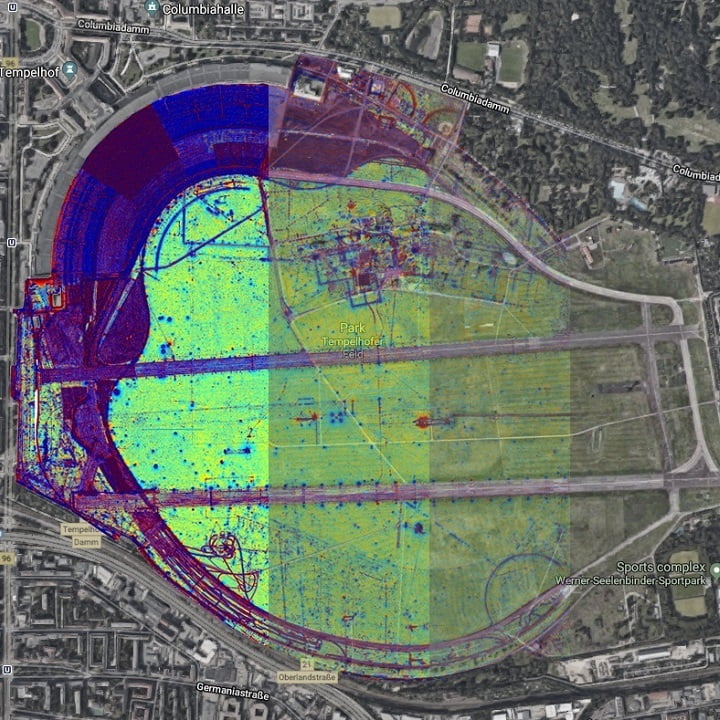
The Bahamian company asked for support in order to assess the contamination of the small island both with threats, but scrap metal, too. As the service company was in a the drone filming business already, using the MagDrone R3 was the only logic step. That way the entire island could be cartography seamless and within shortest time.
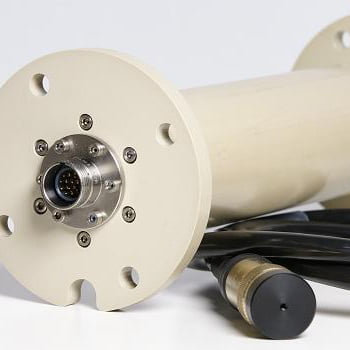
The MagDrone series offers airborne magnetic surveys with drones, fixed wings or any other aircraft having two to five Fluxgate sensors with a standard measurement range of +/-75,000 nT.
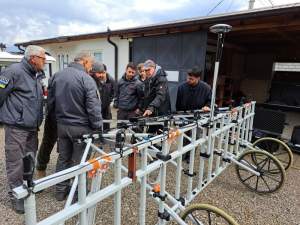
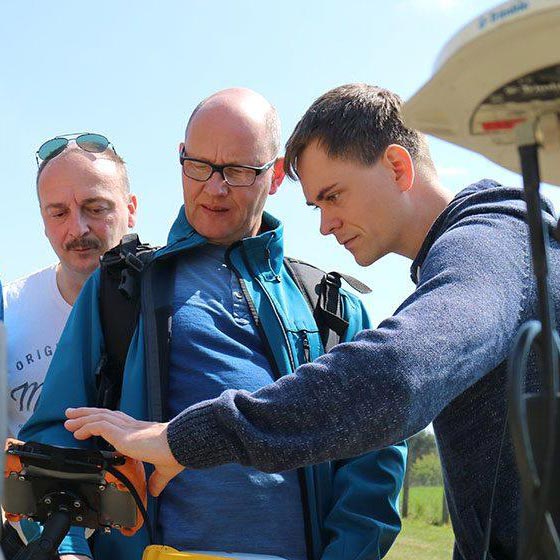
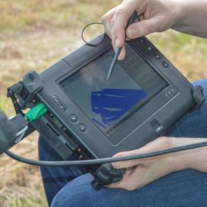
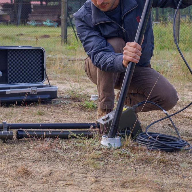
With an on-site training we made sure, that both – data collection with the MagDrone R3 as well as data processing with the software MAGNETO worked smooth. As a backup we double checked data remotely from our headquarter in Bad Saarow, Germany.
There is only one next required step for us: double check any leftovers of scrap metal in person with the entire company, preferably in the time frame of our next Christmas party 😉
This ain’t be enough information? Get in contact with us!
If you don’t want to miss any NEWS anymore, please follow us on our social media channels!
Find us on LinkedIn | YouTube | Facebook | Instagram
Image source: Google Maps & MSC Cruises