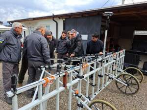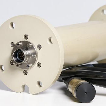
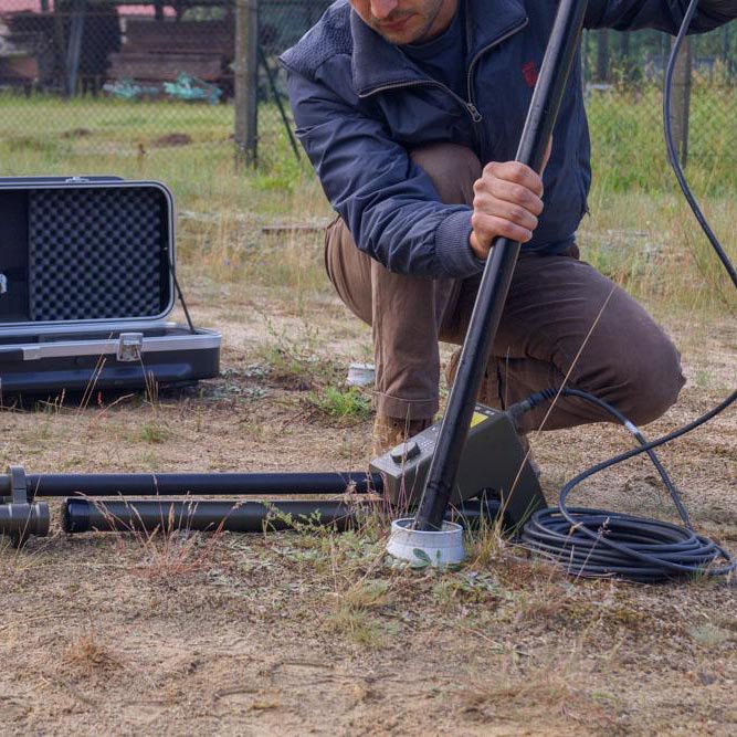
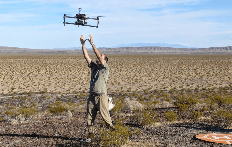
The Lancaster Environment Centre of the Lancaster University together with the School of Geophysics of the University South Florida and many others conducted several volcanological field studies using unoccupied aircraft systems (UAS) with a number of different sensors to decrease the effort of airborne supported field surveys, but increase efficiency compared to man walked / hand held measurement campaigns. One of the sensor systems was the SENSYS MagDrone R3 to generate a magnetic foot print of the volcano and the area around. Mel Rodgers, research Assistant Professor of the USF, got in contact with us initially to inquire for the R3. A main advantage of the R3 was the compact system size in combination with its weight of only 900g. Which made it possible to evaluate the use of several different UAS like fixed wing, helicopters, multi rotor drones and VTOL devices.
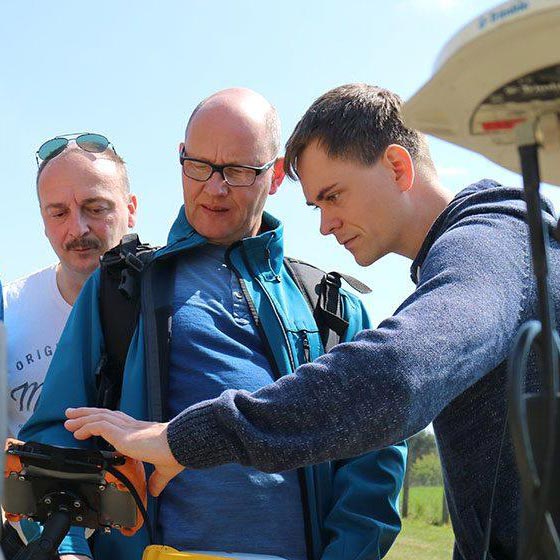
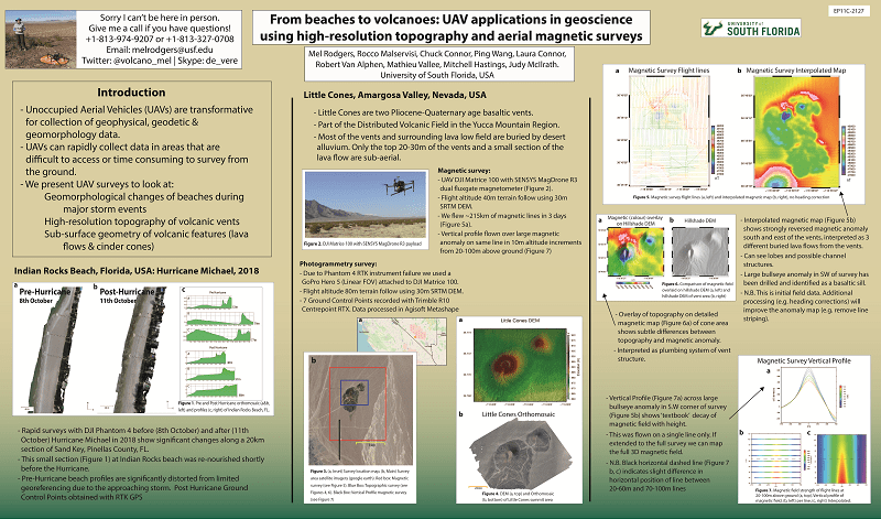
One of the big advantages using an UAS in combination with our MagDrone R3 was to survey the same area in several distances from high to low heights above ground compared of a manned aircraft to learn more about how the magnetic field strength decreases over distance and if this unleash certain local effects. Between 16th and 23rd of October 2019 a team from the USF were undertaking an elevation test flying from North to South at 20, 30, 40, 50, 60, 70, 80, 80, 90 and 100m above the ground. A poster session was given at the Advanced Earth and Space Science 2019 summarizing the survey and showing how magnetics illustrate the volcano cones at Amargosa Valley.
Flying at greater heights doesn’t necessarily require two Magnetometer sensors at such a dense spacing of 1 meter, but provide an important redundancy and check if both sensors measure similar. Furthermore, the R3 is using the triaxial SENSYS FGM3D Fuxgate Magnetometers which not only recorded the total field values, but all field vectors (x, y and z) separately for a more flexible processing.
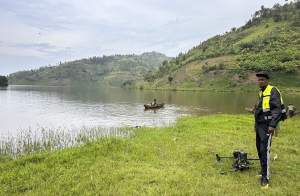
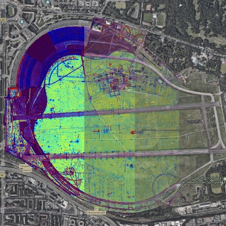
On hand of an UAS magnetic survey with the DJI Matrice 100 and the MagDrone R3 of Little Cones, Amargosa Valley, Nevada, USA magnetic effects of buried lava and volcanic rocks could be illustrated.
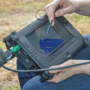
Mel Rodgers and the team were impressed by the easiness of deploying a UAS based magnetometer system, collecting data rapidly and using the MagDrone DataTool for exporting the binary raw data into ASCII readable data for their own processing.
A more detailed article about the test campaign of all uses UAS and sensor is published on the Volcanica Journal (or use that link here).
If you like to get more information about our airborne solutions, use the contact form or drop us a direct email to info@sensys.de.
We appreciate your interest in this article. If you don’t want to miss any more NEWS from us, we would be happy if you follow SENSYS in the social media channels.
You can find us on Facebook | Instagram | LinkedIn | Twitter | YouTube