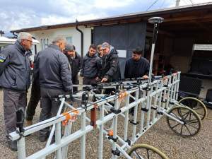
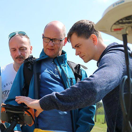
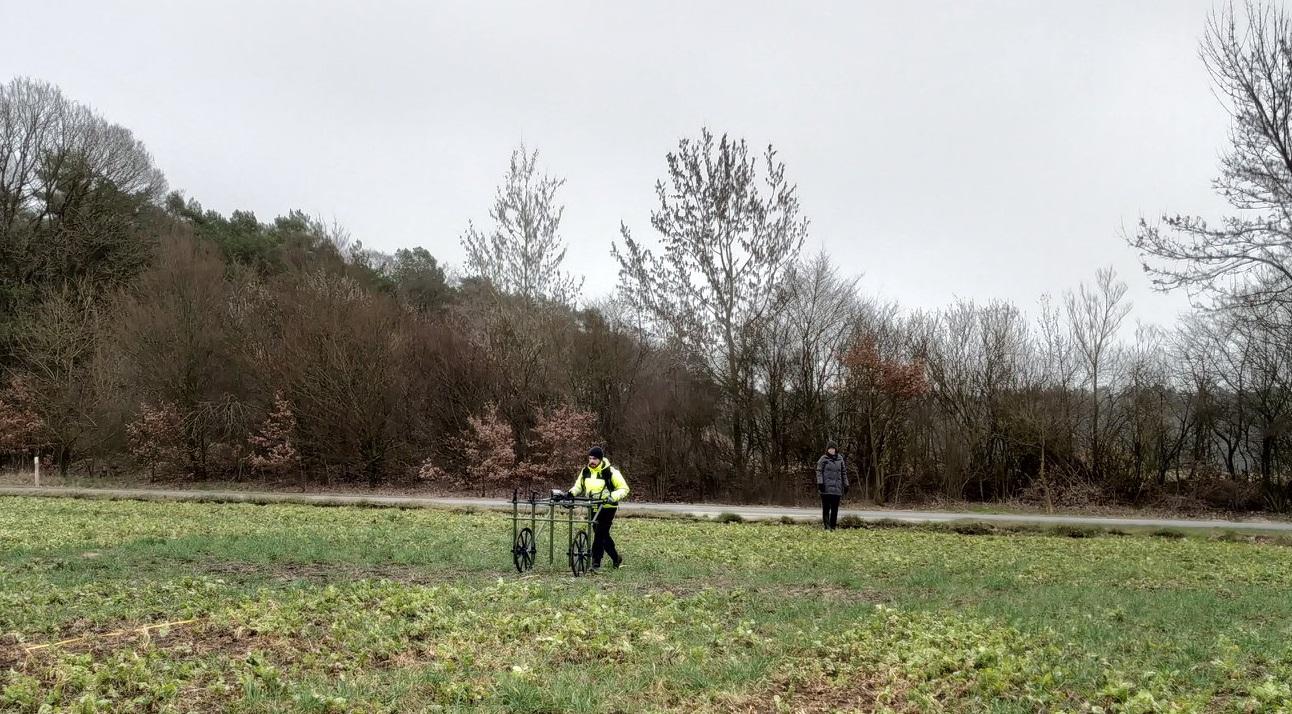
Two weeks ago the Institut für Vor- und Frühgeschichtliche Archäologie at the Universität Hamburg was using the SENSYS MXPDA ARCH around Seevetal in Northern Germany to survey various areas. Last week they went out again in cooperation with the Kreisarchäologie Stade to survey 2nd WW airplane crash site in wooden areas around Stade.
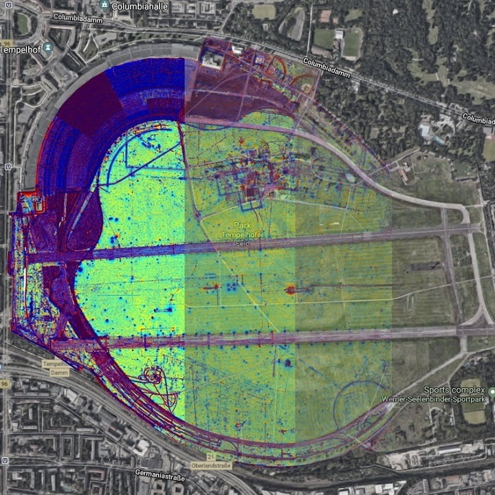
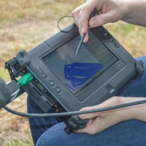
The very nice thing about the MXPDA is the easy connection with RTK GPS solution. That makes it obsolete to mark out rectangular field with lines and markers to be able to do a proper survey of an area – divided into rectangular shapes. In combination with the GPS the operator is free to survey any shape like area and is also able to fill in gaps later on. Nevertheless, we always suggest to run straight lines while recording to easy data processing (i.e. with SENSYS MAGNETO software) later on. Especially mixed lines that lay above each other are more complex to analyze by software. At the end, daily coverage is increasing as the setup time for the MXPDA is short already.
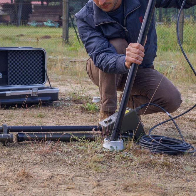
Furthermore, the MXPDA is scalable and you can choose between 1 and 5 FGM650 Gradiometer Magnetometers in variable distances of 25ch, 50cm, or 1m apart. The MXPDA system can be pushed on different kind if wheels as well as carried by man.
Thanks to the team of the Institute and E. Pallmer for the permission of using the picture and link to their facebook post. Looking forward to more exciting projects!