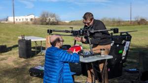
With the MagDrone R4 a new product for aerial surveys is joining the MagDrone series with the One and the R3 already in excellent operation with many clients. Whereas the MagDrone One the R3 are meant to support aerial geophysical field studies and exploration work, the R4 has a slightly different focus on UXO search and high resolution field mapping.
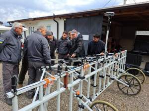
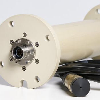
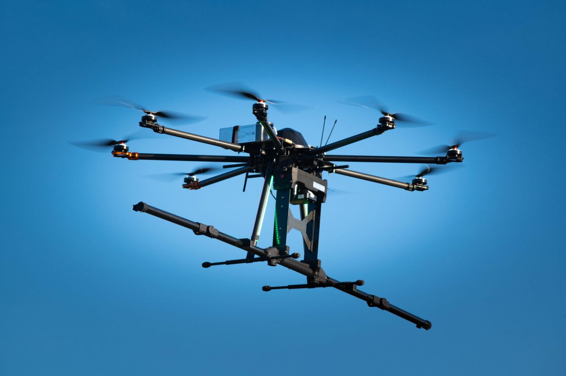
We kept the principle of an easy-to-use system, but having a foldable sensor tube with five of our triaxial FGM3D Fluxgate Magnetometer instead of two or even one sensor. That allows either a wider span (track width) or an increased data point density (spatial resolution).

The charming advantage of the R4 folding mechanism is to halve the sensor distance. That allows to adapt to your job: either be efficient or concentrate on data density. It further makes the R4 very compact if fully folded. Thus logistics of the R4 are down to an outdoor case to be checked as normal luggage at the airport.
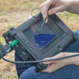
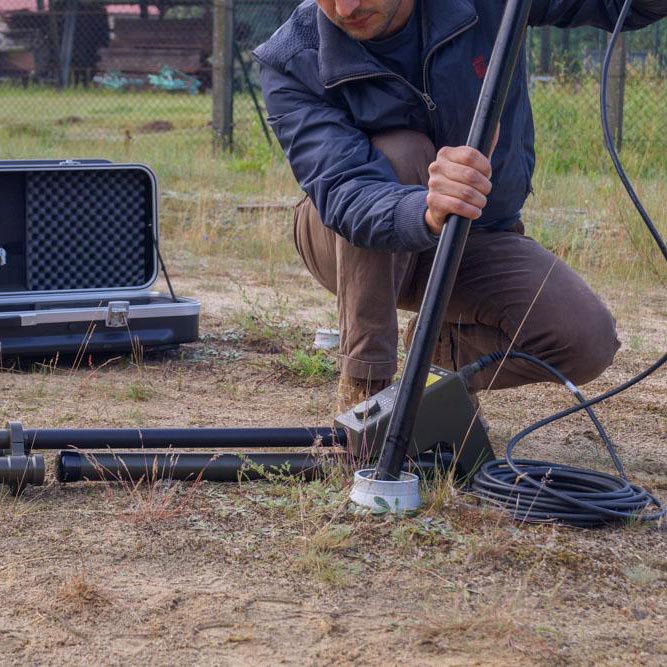
The R4 comes with an internal server and local storage. That allows the control and download of raw data with any Wi-Fi capable device such as Smartphones, Tablets or Laptops. Furthermore, the system is using the drone GPS for direct geo-referencing of all measurement data. If no GPS is available, we can supply an extra one for you. Nevertheless, data can be stored anyway based on an internal time stamp for every measurement value.
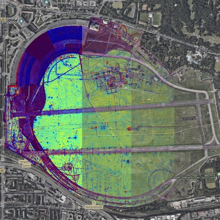
Among other solutions on the market, the 200 Hz sampling rate of all MagDrone devices allows a very compact setup in close distance to UAV motors. With the MagDrone DataTool those noise can be processed and filtered out. Data can be exported into various formats making use of the proposed filtering and compensation. Those ones, who like to be in charge of all processing steps can export the raw data unprocessed into ASCII or CSV to apply their own methods.

Overall, the R4 is not a successor of the R3, but the grown up big brother to support other critical missions that require a denser setup of more than two sensors. By not using an internal GPS, but the UAV one, the absolute GPS accuracy can be improved to RTK level to make findings as precise as possible on the ground.
Have a look to our product page and get in touch for any further questions!
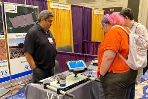
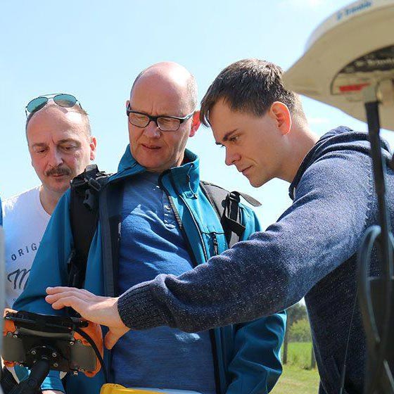
Meet us!
Either at our location in Bad-Saarow, Germany, or at the following events:
SubSea Expo Aberdeen, February 2020
SAA Austin, TX, April 2020
We appreciate your interest in this article. If you don’t want to miss any more NEWS from us, we would be happy if you follow SENSYS in the social media channels.
You can find us on Facebook | Instagram | LinkedIn | Twitter | YouTube