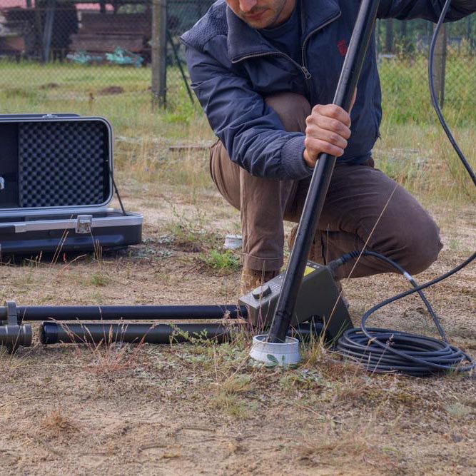
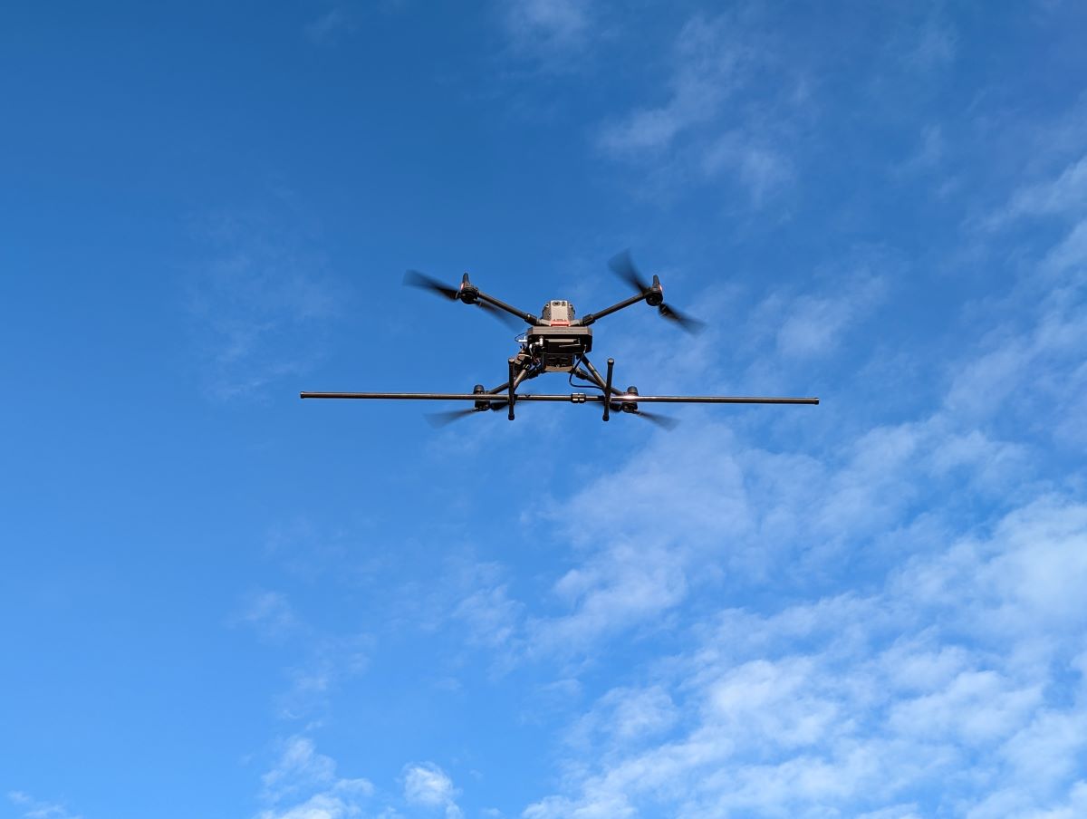
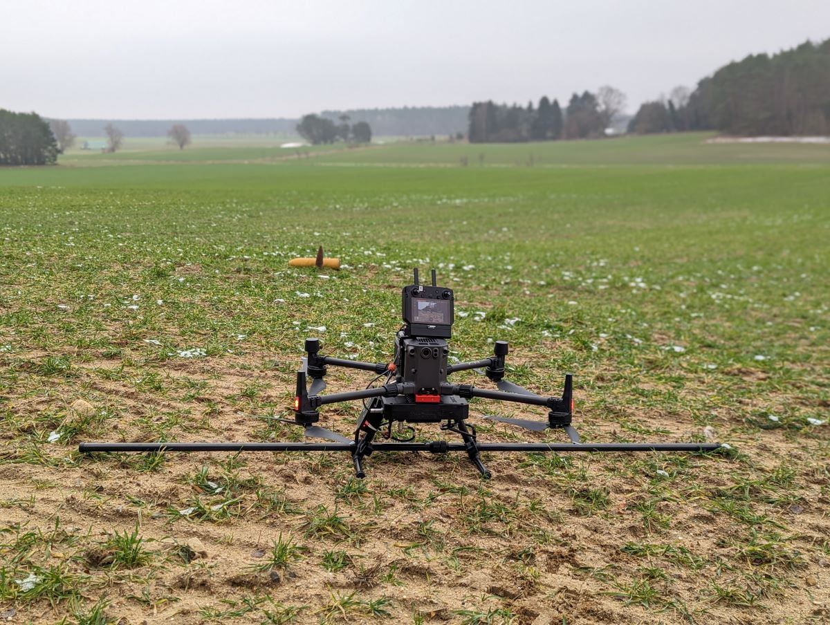
MagDroneR4 is an ultra portable magnetometer survey kit. It is made for large area surveys whenever ground surveys by man or vehicle are not possible anymore. (UAV)
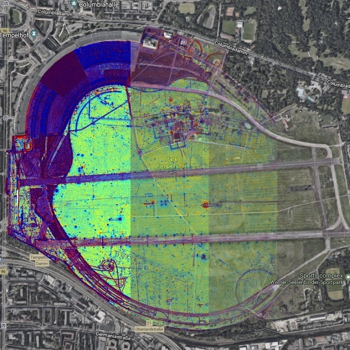
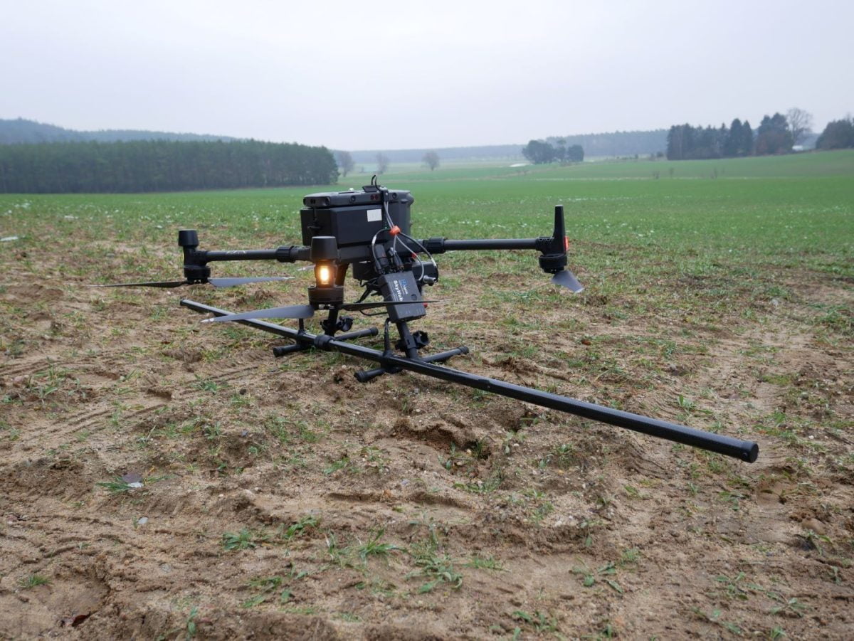
In opposite to the R3, the MagDroneR4 is used for high resolution mapping in order to detect small and compact objects as well as structures in the ground, such as bombs, ammunition or settlement features from the past. A sensor distance of 50 cm at a track distance of 2.5 m allows an area output of 3 to 4 ha per hour. Other solutions are available on request!
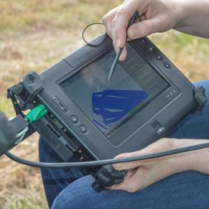
Operating the MagDroneR4 is as simple as with the R3, again. It only comes with one button and an onboard server to be accessed from any WIFI device, such as smartphones, tablets or laptops. That helps for any easy setup, configuration, system check, as well as remote start/stop of recordings and data download. The MagDrone Data Tool helps to identify flown tracks, cut, filter and compensate the raw data, generates a preview and exports into various formats to further process the recorded values i.e. using the MAGNETO® software, GIS tools or Matlab with your own scripting.
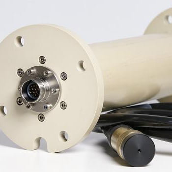
With 200Hz sampling rate the MagDrone series can easily filter out noise from net frequencies, infrastructure or the UAV / Drone motors. Hence, the MagDrone devices can be directly installed on the drone landing gear to enable a very compact setup.
The MagDroneR4 survey kit can be used for general purpose surveys, science related magnetic cartographies, mine exploration, as well as for safety relevant operations such as area scanning for bombs and ammunition, preventive check and surveillance of areas and camps against intrusion.
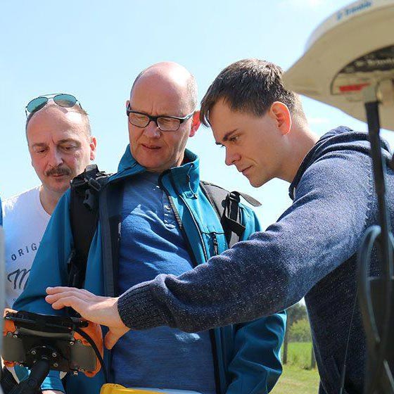
Together with the SENSYS tool MagBase acting as a reference station, the drone based magnetometer data can be correlated with those from the MagBase. That will enable the cancellation of temporary noise sources such as crossing vehicles or net frequencies.
Our partner EOK Hub has published a resumé of the application of the MagDroneR4. You can find the article, which we can only highly recommend, HERE. As well as this Article from our partner JBUAS.
This ain’t be enough information? Get in contact with us! Find us on LinkedIn | YouTube | Facebook | Instagram
| Technical Data MagDrone R4 | |
|---|---|
| General Technical Data | |
| Power Supply | 18 V; 1,500 mAh Li-Ion re-chargeable battery |
| Operating Temperature | -20°C to +50°C |
| Weight / with Li-Ion battery | 2700 g / 3000 g |
| Overall power consumption | 10 W |
| FGM3D/75 Fluxgate | |
| Number and orientation of sensors | 5 pieces, laid horizontal, parallel |
| Specified measurement range | ±75,000 nT (higher ranges available on request) |
| Number of sensor axis | 3 |
| Distance between sensor centre points | 250/500 mm |
| Datalogger | |
| Sensor input | Internal wired |
| User Interface | Start/Stop button; Web Interface |
| Survey mode | Recording when start/stop pressed |
| Sampling rate | 200 Hz (higher rates available on request) |
| Internal memory | 8 GB |
| Standard package | |
| MagDrone R4 | Sensor frame, 5 pcs. built-in FGM3D/75 sensors, data logger (fixed to tube), 2 pcs. rechargeable batteries |
| Rugged case (W x D x H) | 820 x 530 x 300 mm |
| GNSS | External GPS input |
| Peripherals | charger, case, USB memory stick with software |
| Documentation | Certificate, manual |
| PC software | MagDrone DataTool |
| Optional accessories | |
| Data processing | MAGNETO® Software |