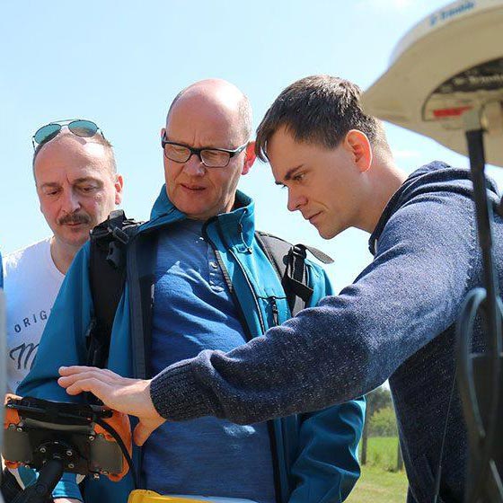
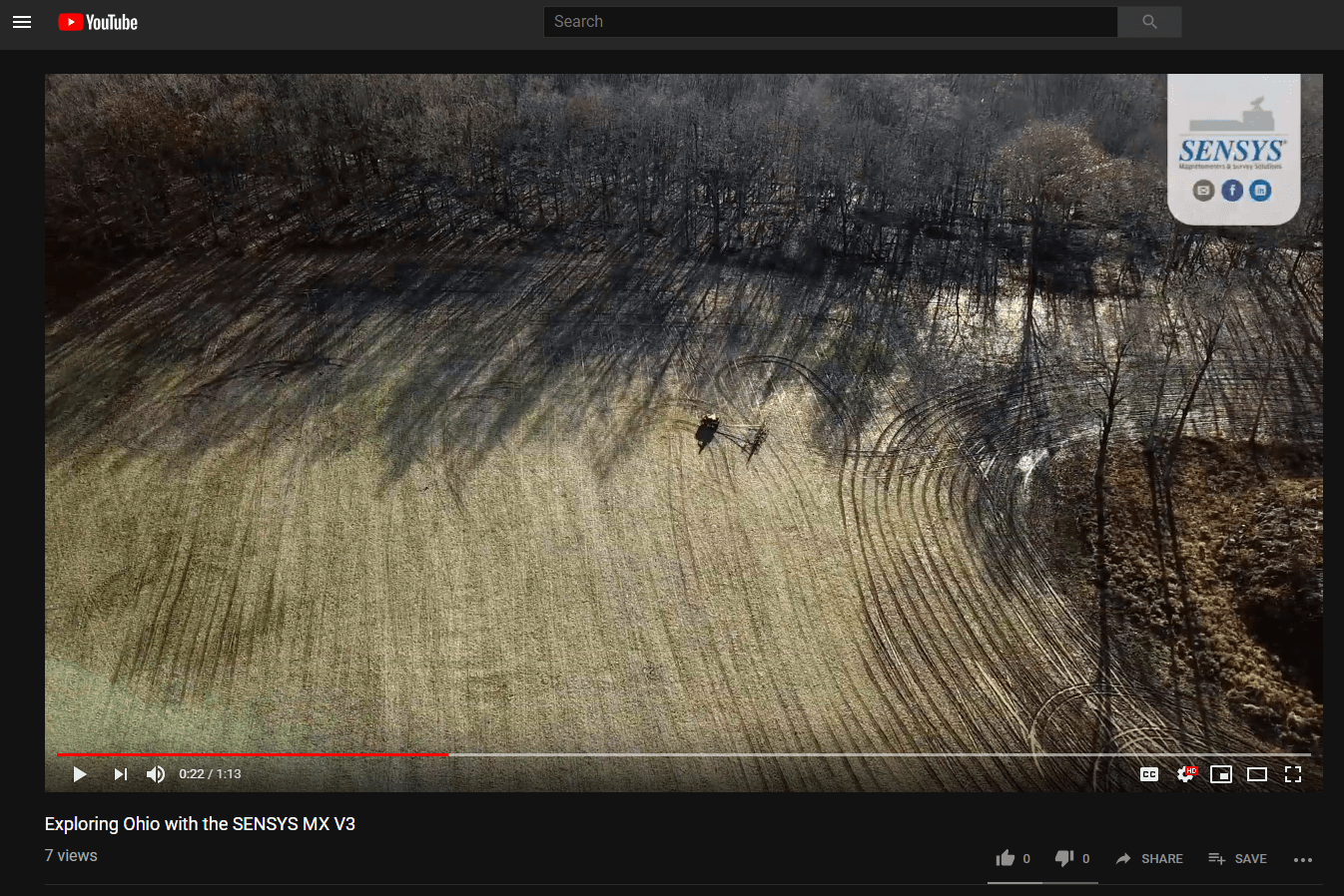
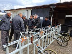
Last year in December, 2018 – we took the multi-channel magnetometer system MX V3 to Ohio to support an archaeological project from the #HeartlandResearchGroup prospecting fields around Perry County in Pennsylvania.
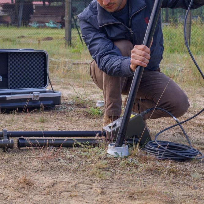
The MX V3 is a vehicle towed survey system using 16 Gradiometer Magnetometer spread on a 4 meter wide trailer. Combined with an RTK GPS the operator is free to navigate in the field without following a specific pattern, covering up to 20 hectares in a single day.
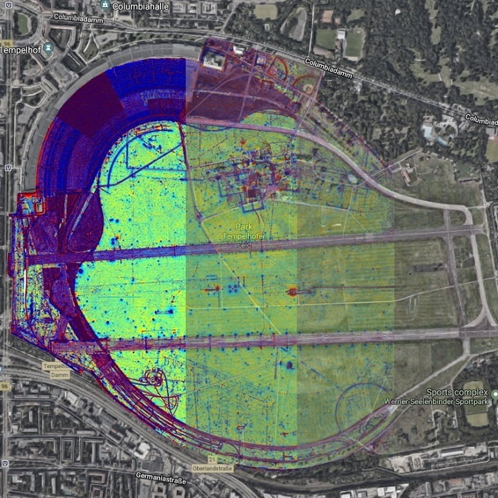
At the end of the survey, all raw data going into the SENSYS software MAGNETO® to generate a grey scale magnetic map of the surveyed area revealing faintest structures and settlements to narrow down the spots for excavation work.
The MX V3 is a professional, precise and flexible non-intrusive large area survey systems for scientific, historical and geophysical field surveys.
If you like to know more about the systems details, get in contact with Gorden Konieczek!

