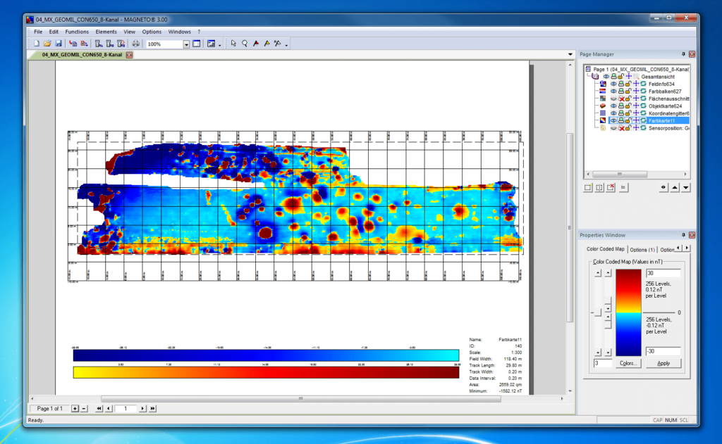
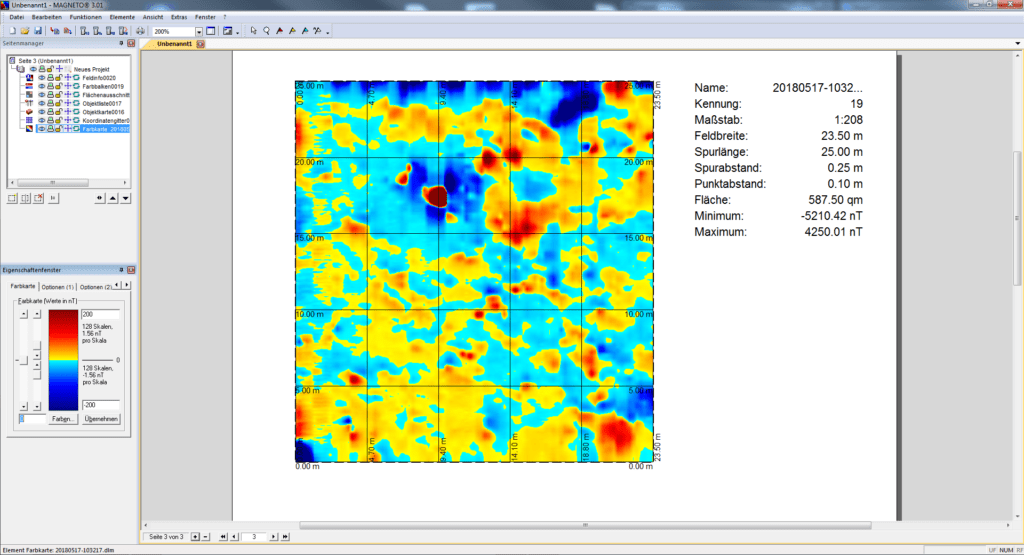
With MAGNETO® you have a software for efficient evaluation of magnetic measurements at hand.
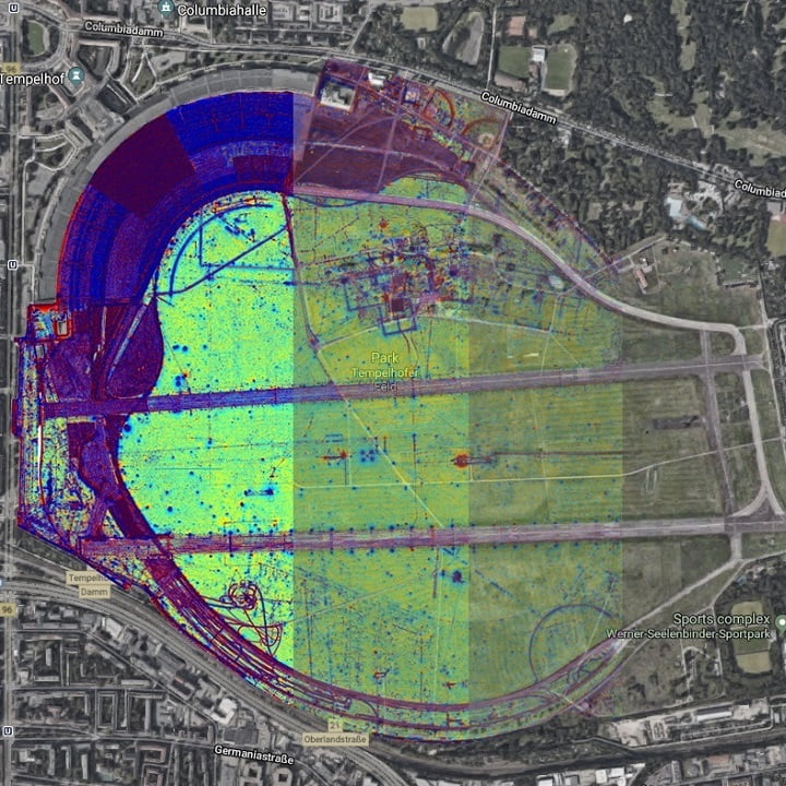
You can use it for data evaluation for detection of explosive ordnance as well as for the visualisation of measurements in archaeology and geophysics. In our SENSYS News we keep you up to date and inform you as soon as something happens.
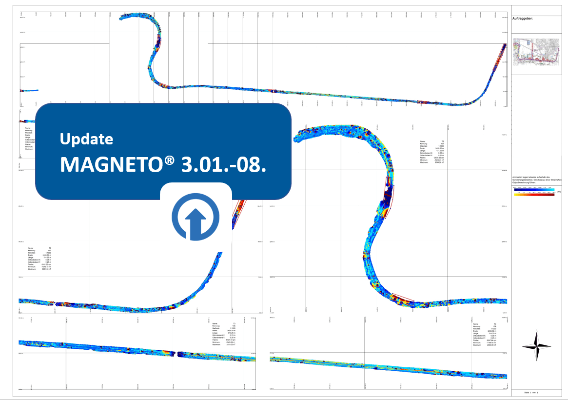
The latest published update of MAGNETO is a pure error update.
All updates at a glance
- German umlauts in the status table for drill holes no longer lead to incorrect color representations of the drill holes
- Furthermore, error corrections in the AOI functions do not lead to further erroneous coordinates. When opening erroneous data, corrections are even automatically applied. The corrections also affect the export of color map sections.
- The display updates for partial area formation have been improved
- The function for dividing surfaces is now available in the borehole-only license. The previous restriction to area licenses has been removed.
- When importing drill hole plans, the coordinate height value is no longer rotated in the directional orientation (sign reversal). I.e., the correct height value of the drill hole starting points is now output when exporting drill hole plans.


