Geophysics for UXO, Soil & Archaeology
MEASURE
Collecting as much as possible information, using various measurement methods makes SENSYS devices to one of the favorite solutions in the field.
DETECT
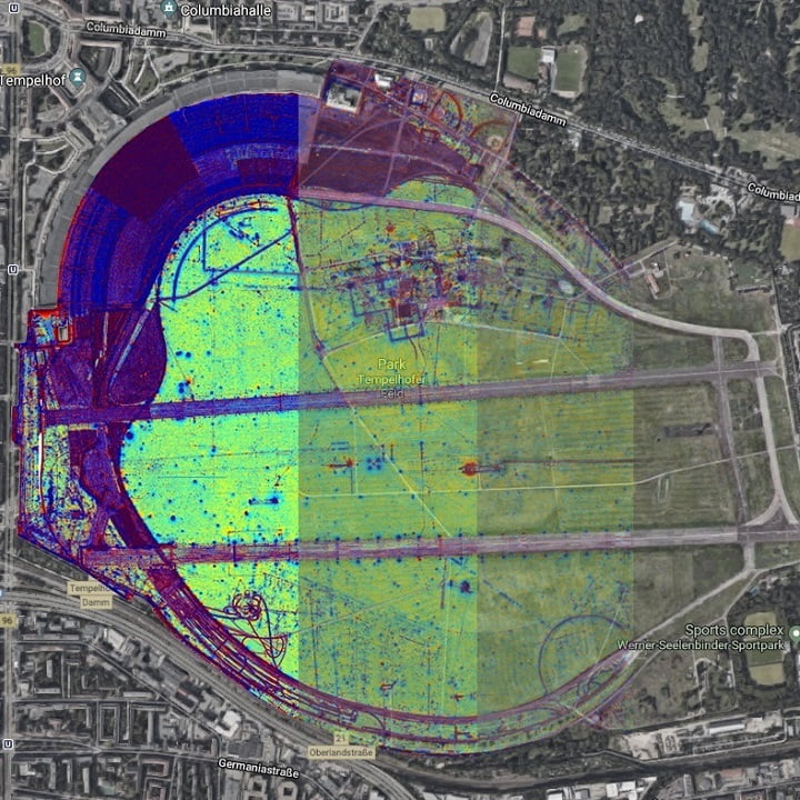
Processing measurement data and overlay information is key for our client to built the base for any decisions to make.
PROTECT
It’s either us or the environment to be protected – or both. Making sure we face a safe and sustainable future.
Improve the base for decisions
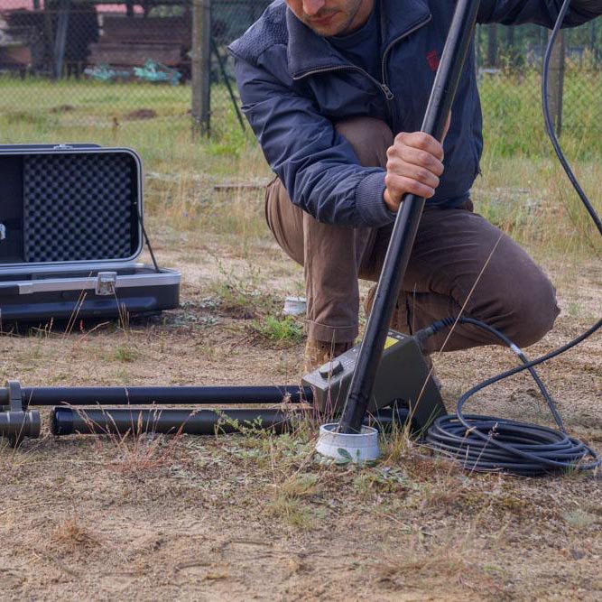
Geophysics as all time important tool relies on SENSYS land, water and aerial solutions using our portfolio of magnetometers, electromagnetic coil systems and susceptibility probes.
Questions about our Services and Products?
Whether you are seeking for consultancy or already looking for specific technical information – get in contact with us!
Unveil hidden secrets with applied Geophysics
Applied geophysics includes research for scientific and economic tasks. In the scientific sector, SENSYS products are being used for research projects such as long-term studies on the Earth’s magnetic field and surveys on soil layers. Other SENSYS products which are mainly used for scientific laboratory tests are high-precision magnetic field sensors and data analysis units. In the economic field, SENSYS’ magnetic and electromagnetic systems are operated e.g. for mine exploration, soil investigations, determination of contaminated sites or infrastructure analyses. These systems need to provide a great amount of reliable and precise measurement data in a very short time.
Electromagnetic measurement devices for ground geophysics
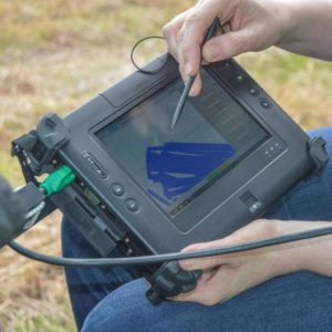
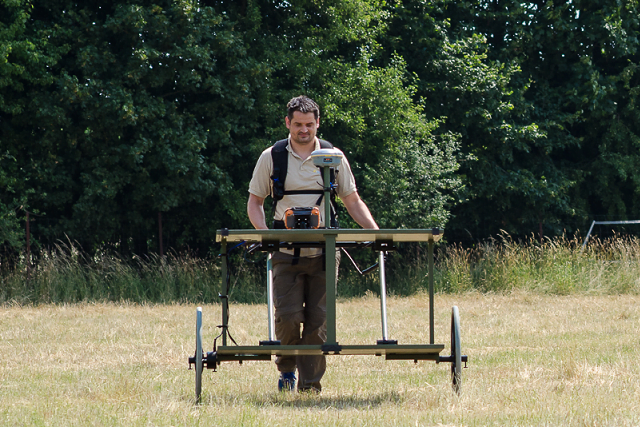
For land based surveys, the SENSYS system EMD2 – using time domain electromagnetics – offers a perfect package. This push cart device comes with a large transmitter coil and 3 differential receiver coil pairs to increase resolution and improve background noise cancellation. Together with a high precision RTK GPS the EMD2 delivers geo-referenced measurement values to be processed in SENSYS own software MAGNETO or third party tools like GIS.
Magnetometer detectors for airborne geophysics
For aerial surveys, the MagDrone R3 can be mounted on nearly any UAV, UAS or drone with a payload of 1kg. Thus, the UAV magnetometer kit opens a new market that was reserved to research companies operating airplanes and helicopters, making surveys and research always an expensive and complex mission. Now, the MagDrone R3 enables small, cost-effective and even repetitive surveys on any terrain at any place in the world. Whereas airplanes and helicopter needs a base, fuel and a runway, UAV and MagDrone R3 comes in box – maybe even as checked luggage. The MagDrone R3 uses state-of-the-art Fluxgates with high sampling rates, dealing with UAV noise and allow the setup to be even more compact. That makes SENSYS products an indispensible solution for geophysical approaches and projects.
References from Geophysics field work
Tauber-Herklotz Consult
EMD2 in Germany
Tauber-Herklotz-Consult is one of the largest Geophysics Service Providers in Germany and is using the entire SENSYS magnetometer product portfolio from handheld unit SBL10, push-cart system MXPDA up to the eletromagnetic device EMD2!
Ind.A.G.O.
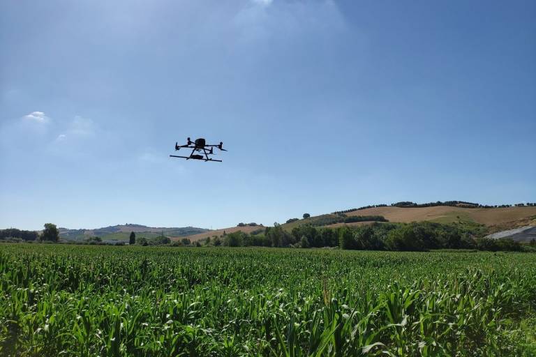
MagWalk in Italy
Ind.A.G.O. is a geophysics service provider, but a well-established and competent re-seller for survey equipment, too. Having MagWalk and MagDrone R3 in their portfolio attracts a lot of meridian Geophysics to add magnetometry to their portfolio!
Federal Institute for Geosciences and Natural Resources
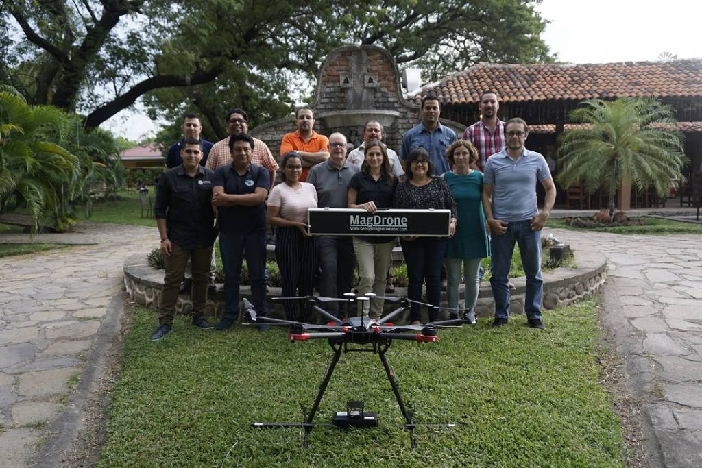
MagDrone R3 worldwide
Within a supporting projects for soil exploration in Honduras, the German Federal Institute for Geosciences and Natural Resources acquired a MagDroneR3 with on-site training. The Fluxgate Magnetometer measurement system is in use on an DJI M600 drone for airborne magnetometry.

