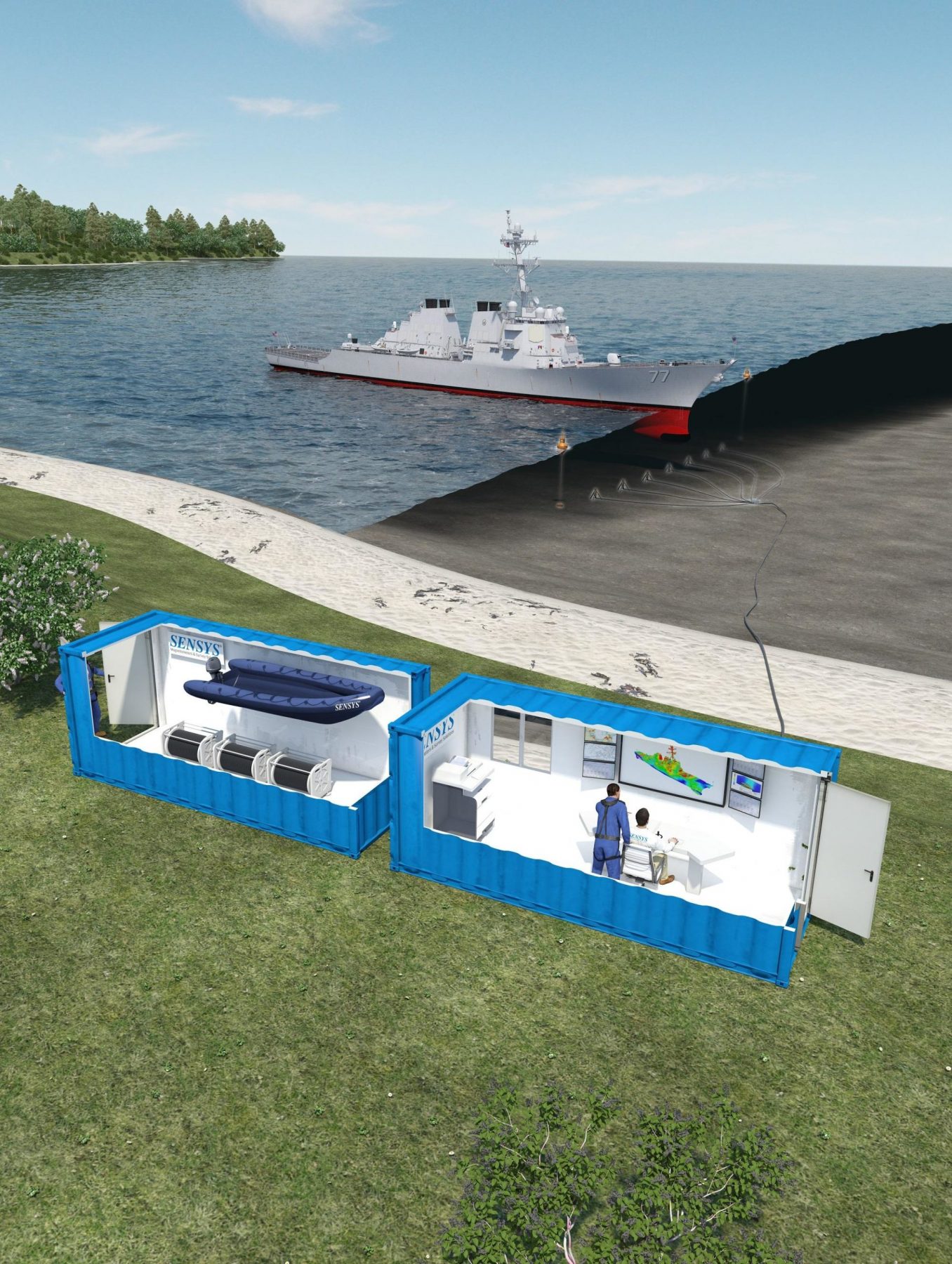
MMVA - Mobile and autarkic system
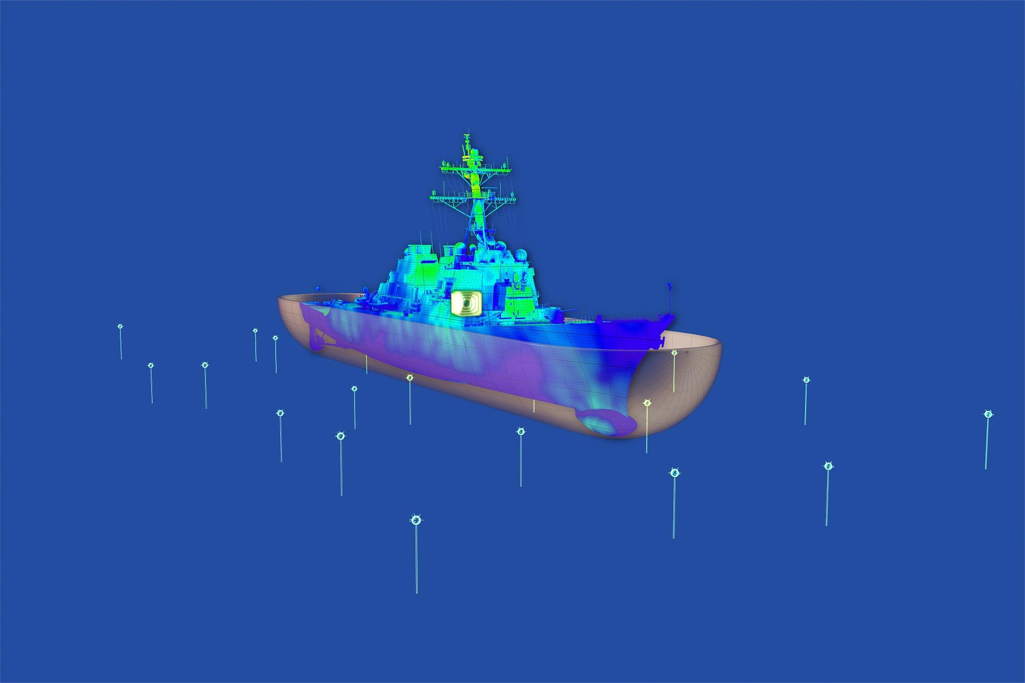
The Mobile Magnetic Ranging System MMVA is recording the magnetic signature of marine and naval vessels while ranging across a magnetometer sensor line deployed on the sea bed. The MMVA is a mobile and autarkic system to be used at any spot worldwide. While recording the magnetic signature of vessels crossing the sensor line under different operational conditions, the MMVA helps to install or examine de-gaussing systems to protect vessels against i.e. sea mines and other threats reacting to magnetic triggers.
Ultimate mobility
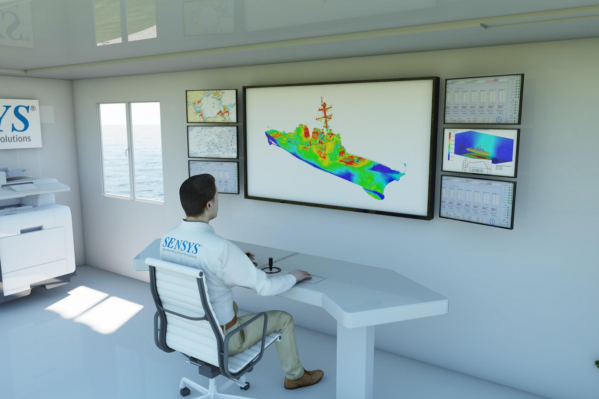
For ultimate mobility, the MMVA consists of two standard 20-feet sea freight containers, whereas one contains all power supply, measurement equipment and accessories to set up and power the magnetometer survey system. The second one is an office container for two staff planning, recording and processing the measurement campaign with the help of a SENSYS own software suite. Both containers are parked onshore at the coast line.
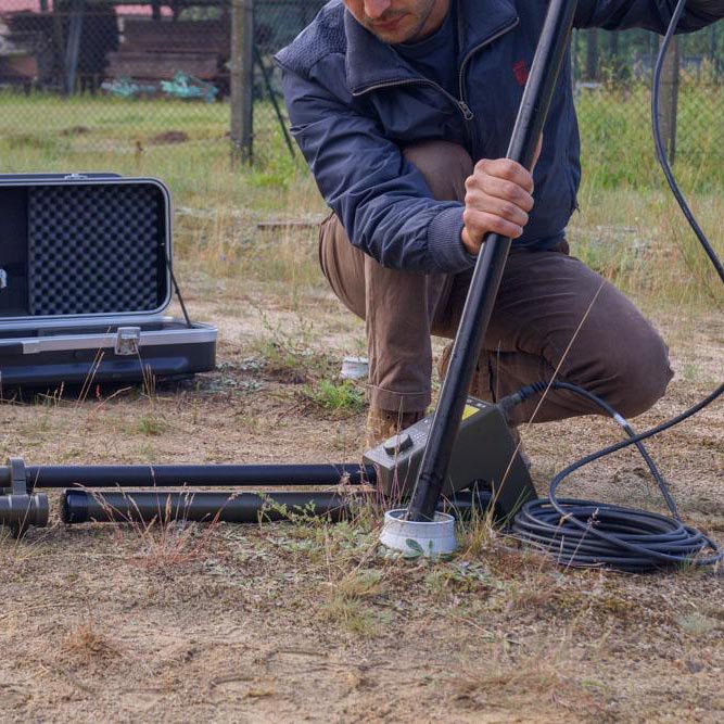
With a RIB boat all sensor and the recording unit can be deployed easily onto the sea bed up to 2 km off the coast. With an unique SENSYS calibration method, deployed magnetometers are located to a precise GPS coordinate of a few centimeters.
Benefits of the MMVA
- High mobility by using 2 standard sea freight containers
- Flexible deployement of Magnetometer on the sea bed, thanks to precise calibration and localization method
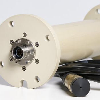
- High-precision 3-Axis-Fluxgate-Magnetometer with optional customization
- Extension of the measurement system with more sensors
- Deployment of the measurement system up to 2 km off the coast
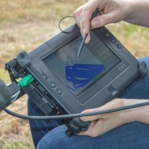
- Compact and comprehensive software suite for planning, measurement and interpretation
This ain’t be enough information? Get in contact with us! Find us on LinkedIn | YouTube | Facebook | Instagram